
Mount Sarmiento and the surrounding valleys and fjords are one of the least explored areas of the World. Only four expeditions ever reached the summit and there are no trails or crossings or signs whatsoever. It’s ours to discover.
The story
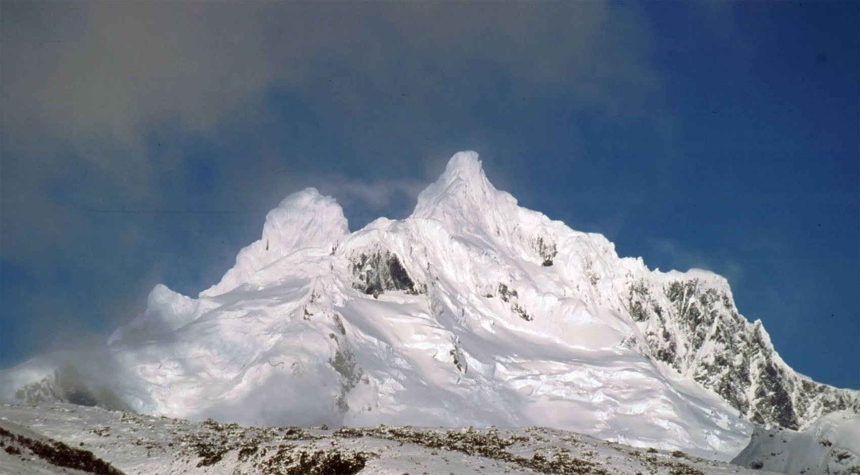
Reaching the summit of Mount Sarmiento had always been the life-long of Father Alberto Maria de Agostini, the man who more than anyone explored, traveled and above all loved Patagonia. He could not fulfill his dream himself, but he led the expedition that in 1956 successfully put two top Italian climbers on the summit, after a 40 days struggle against the elements. Only three other expeditions were successful since. All the valleys and the fjords around the mountain, which is surprisingly close to the sea, are virtually unexplored. The weather and terrain are not welcoming, but our aim is to find one or two routes crossing between Bahia Desolada, to the south of the mountain, to the channels to the north of it.
Highlights
Be where no one else has been before
Travel to the edges of the World
Discover the challenge of sailing in high latitudes
Make your very own treks
Learn to sail from our skippers
Sailing towards Sarmiento
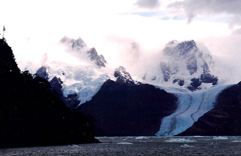
Beagle Channel, better known as the Glacier highway, runs straight west from Ushuaia and Puerto Williams. The scenery is majestic, to say the least, with hanging and tidal glaciers in quick succession one after the other on the north shore. A trip on its own. Sailing yachts along the channel can stop in various anchorages, mainly very close to the glaciers which are continuously cracking and calving. It makes for an entertaining soundtrack at night with the thundering sounds running through the water and up the hull. Few things are as exciting as sailing close to the glacier pinnacles and towers!
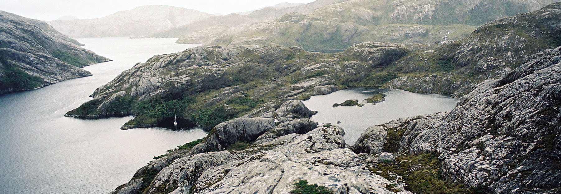
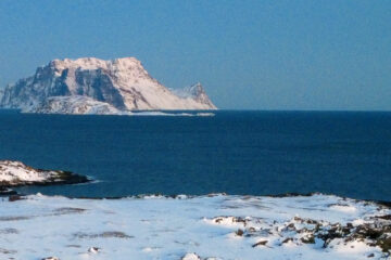
Most vessels sail as far as Glacier Pia or Garibaldi, very few venture west towards Bahia Desolada – Desolation Bay. Here the scenery changes, with the Darwin Cordillera softening and the channels widening. It’s frequently calm and the tiny coves are charming and welcoming, where summer regains a meaning, even if swimming will be not your flying high among your burning desires. After the crackling glaciers we are back to a world of silence and calm. The northern branches of this wide bay are barely surveyed but there are two or three fjords right under Mount Sarmiento. Weather in these western barren lands is ‘fluid’, to use an understatement. These are the first lands met by the systems crossing the South Pacific. An average of 3 to 4 systems a week means frequent shifts between fronts, so a rapid succession of squalls, sun, rain will make for an entertaining sail. Our yacht will search the ideal places to land a trekking party.

Depending on the weather and conditions met on land, the yacht will keep cruising around the last peninsulas of Tierra del Fuego in Breakneck and Cockburn channels. It is amazing, incredible scenery, made of peaks, valleys and waterfalls. There are many places where to land and hike. Vegetation is scant and usually it’s possible to walk on barren rock, without having to clear the thick vegetation so common in the less exposed bays and channels. Once ashore, there is literally no limit where one can go and explore. Of course there are no trails or signs, it’s a pure and pristine word.
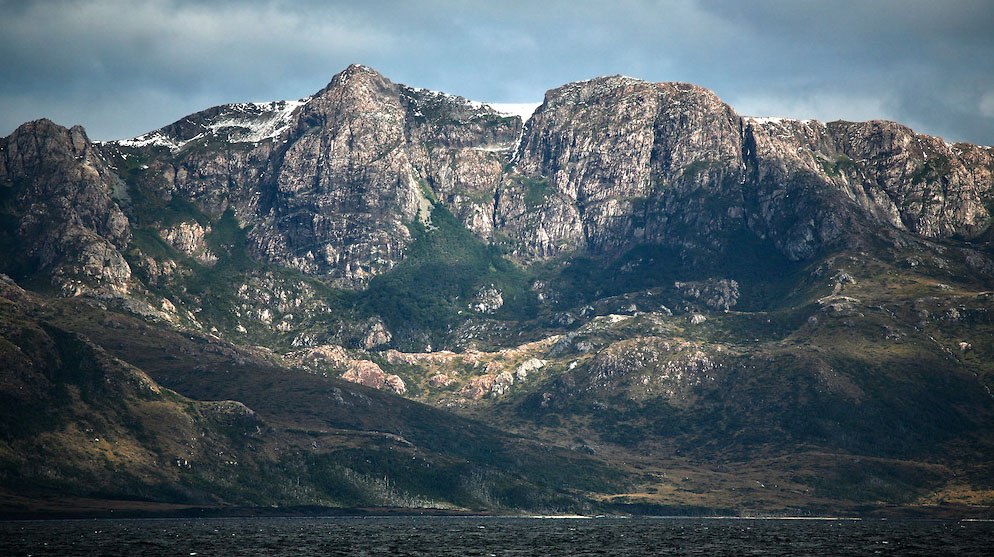
Sarmiento literally stands over the Eastern ends of Canal Cockburn, although it’s not often in view, being covered with clouds. Seno Agostini starts from here and turns southeast, thus going around Sarmiento. This is where the various expeditions placed their base camp. There are two or three possible crossings from the head of Seno Agostini to Bahia Desolada, with the aim to get a good view of Sarmiento when free from clouds.
Ask the Author
Error: Contact form not found.
