

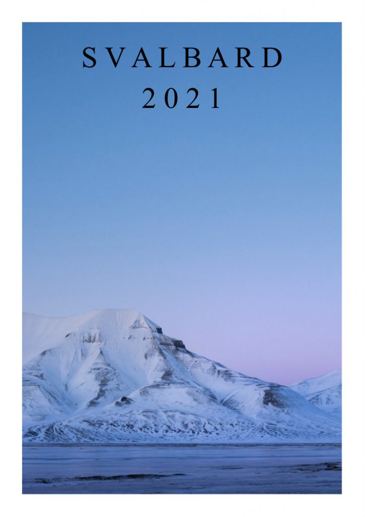
THE SVALBARD 2021 EXPEDITION ESSENTIALS
Full brochure available: https://issuu.com/marcorossi4/docs/svalbard_2021
Cadeau offers three different cruises of 2 weeks, between around May 20 and July 10, 2021
Cruise north, Tromso to Longyearbyen: departing Tromso May 20, via Troms outer Islands, Kagen with skiing in the area while waiting for a comfortable weather window for the crossing to Bear Island and Spitzbergen. Skiing and exploration of Hornsund and south Spitzbergen, arrival in Longyearbyen.
Explore Spitzbergen, from/to Longyearbyen: departing around June 10, sailing north to Ny Alesund and/or south to Van Mijenfjorden, extensive exploration of the area.
Cruise south, Longyearbyen to Tromso: departing around June 28 and sailing south to to Van Mijenfjorden then Bear Island and Norway via Troms outer Islands.
Charter rates and cruise types:
· cruise North and South: 1200 euro per person plus shared expenses for food
· cruise Spitzbergen: 2000 euros per person plus shared expenses for food
· complete cruise: 3900 euros per person plus shared expenses for food
Weather: see chart in the next pages. Temperatures will vary between –2 and +2.
Sailplan: Arctic Ocean and West Coast of Spitzbergen, see chart in the next pages
Full pilot download: http://www.kartverket.no/dnl/den-norske-los-7-english.pdf

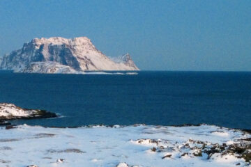
Passage from North Norway to Spitsbergen
The crossing between North Norway and Svalbard is usually from the mainland at Andenes and Fugløykalven. From Andenes the course is 353°, passing about 70 nautical miles W of Bjørnøya, about 45 nautical miles west of Sørkapp and then to a point about 11 nautical miles south of Salpynten (Prins Karls Forland) off Isfjorden. The distance of this voyage is 52 nautical miles. From Fugløykalven to the same point off Isfjorden the bearing is 345° and the distance 479 nautical miles. This course will pass about 34 nautical miles west of Bjørnøya and about 30 nautical miles west of Sørkapp.
ICE AND CURRENT CONDITIONS ON PASSAGE
Early in the summer, pack ice can be encountered or ice sky observed up as far as Bjørnøya, when course is held westwards to go clear of the ice. As the ice often forms long points between wide and deep bays, navigators should not be too quick to steer eastwards again. In easterly winds it may require sailing up to 70 nautical miles off the west coast of Spitsbergen on because of ice. Normally ice will stop or slacken north of Sentinelleflaet, and vessels making for Kongsfjorden can be clear of ice off Prins Karls Forland.
Along the west coast of Spitsbergen, a north-fl0wing current of 1-2 knots can be expected. This stream will also drive ice into the fjords, especially on the south side and out again on thenorth side (the Coriolis Effect) where in calm wind conditions it will be more spread. In such weather broken ice with large open channels on the northern and southern sides of the fjords can be expected. The current emerging from Isfjorden will, when the ice masses are not too great, have a tendency to stop the north-fl wing ice drift near Sentinellefla et. In all cases the circumstances should be carefully considered before entering ice as current, and especially wind, can quickly change the situation with closer ice and compression of channels.See additional information on ice, currents and wind in Chapter I.
Admittance of visitors
Neither a passport nor a visa is required for a visit to Svalbard1.
Nor is it necessary to obtain a special permit. All persons
Visiting Svalbard must bring with them adequate equipment to be
able to manage without help. Persons without the necessary
equipment risk being denied entry. Svalbard is a customs and
duty-free area.
Svalbard’s rules
The local travel company and the District Governor have prepared
a set of «Svalbard Rules of Conduct». These describe
how the authorities and travel the company require visitors to
Svalbard should travel:
1. No rubbish to be disposed of or left in the environment.
2. No disturbance of animals or birds. Remember that you are
here as guests
3. Pick no fl wers. Take care of everything
4. Do not destroy or remove cultural monuments. All traces
of human activity from before 1946 are protected cultural
monuments.
5. It is forbidden to seek out or attract polar bears. This can be
extremely dangerous to life.
6. Do not leave settlements without a weapon and make sure
that you know how to use it.
7. Show consideration to others.
8. Make contact with District Governor when you go on unaccompanied
long walks. There is an obligation to report
travel over large parts of Svalbard.
9. Familiarise yourself on the regulations on travel and activities
on Svalbard.
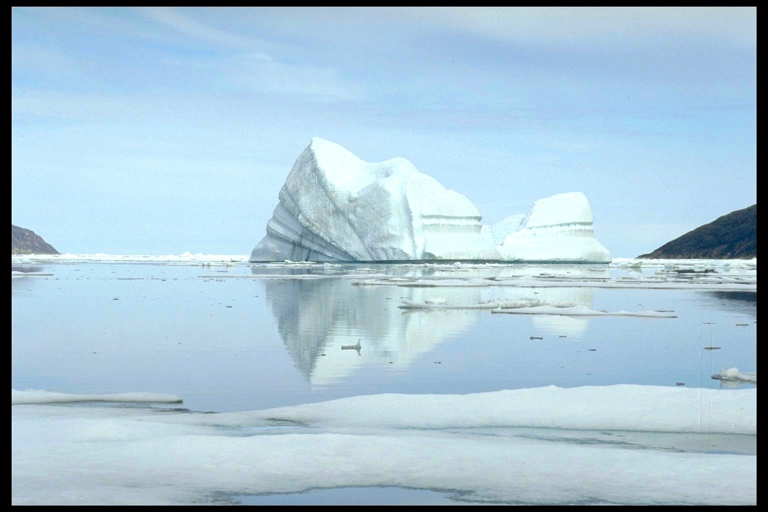
Sea ice
Sea ice in the Arctic has decreased considerably in recent years both in extent and thickness. Sea ice is nowdominated by younger ice, – there is more of first year ice and less older ice, (second or multi-year ice) the so-called Polar ice pack. Pack ice at sea consists mainly of sea ice which is frozen seawater. In some areas there is also glacial ice from the calving glaciers. Sea ice extent on the northern hemisphere varies with the seasons and covers an area on approx 5-15 million km2 (0.5 to 1.5 times Europe’s surface area). The ice extent is lowest in September and largest in March. The September sea ice has declined significantly in recent years. The amount of older ice in particular has decreased dramatically. The total volume of ice is estimated to be about 13,000 km3 in the summer and 16,500 km3 at the end of winter (figures from 2010). Production in the winter is mostly offset by the summer melt but also by, for example, the East Greenland Current carries about 2,000 to 3, 000 km3 of pack ice out of the Arctic Ocean during the course of one year.
The areas around Svalbard and the Barents Sea
The sea areas around Svalbard and the Barents Sea are char-acterised by seasonal sea ice which melts in summer; so-called first year ice. In the fjords it forms landfast ice. In the areas northeast of Svalbard some ice survives the summer and then forms second year ice and possibly multi-year ice if it survives several summers. Multi-year ice (from the Arctic Basin) can drift into the Barents Sea.
Ice formation
Seawater with a salinity of 33 ‰ has a freezing point of about -1.81 °C. Cooling water increases its density and thereby the weight. The heavier water sinks until it meets a layer of the same or greater density. This creates a vertical circulation until the entire upper layer is mixed and cooled to freezing point. The process is enhanced by the waves and wind, increasing the thickness of the mixed upper water layer. The whole of the upper layer of water must be cooled o freezing point before ice can be formed. With no wind this layer is most often quite thin and forms shell ice on so-called Nilas ice layer on the surface. If there is wind frazil ice can be suspended throughout the whole mixed layer. When this thin solid ice cover is broken by the wind and sea into small pieces which grind against each other, they become rounded with raised edges and then known as pancake ice. However, if there is wind the whole layer can form blue/ grey grease ice that accumulates at the surface and forms a solid ice cover. in heavy seas this can also occur directly from brash lumps. When it first begins to freeze in the autumn, new ice forms quickly. In sheltered areas this can become fast ice while in the open sea it will be broken up and moved around by the wind and currents as pack ice. The pack ice grinds together or slackens depending on variations of winds and currents, and the shape and size of ice floes. Some of the ice formed in winter does not melt in the summer and frezes
